This is not the most scenic of drives, but it's a road we had never taken. After turning off of WY-120, this is the view below. The sign on the right reads, COTTONWOOD CR RD; SAND DRAW RD - 5 km, 3 mi; HIGHWAY 20 - 24 km, 15 mi.
 We stopped below to look for flowers and unusual plants.
 We stopped below to look for flowers and unusual plants.

 The mailboxes and the blanket of flowers below provided another opportunity to stop and look. By the way, the barrels on which the mailboxes rest have square holes cut out so that the mail carrier can place packages in them.
 The next two shots I include because they are typical of the drive. All the sandstone formations along the north side of the road present great hiking opportunities.
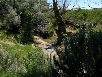
 Below is a dry creek bed. All the smooth stones tell how rocky the soil is. Where I come from, people would pay good money for them to be used on the exterior of their homes.
 Eventually you come to the end of Hot Springs County and enter Washakie County (Washakie County Road 16). This is looking east.
 Eventually Cottonwood Creek Road took us up over the crest of some hills where I took the shot below of the valley (looking south).
 Before returning to Thermopolis, we drove through Winchester once again to see the differences the warmth and rain have made to the area since part 1 of that series. Compare the shot below to the third photograph from the end in part 1 of Winchester.
link: index to photographs


No comments:
Post a Comment