


 The above modular home appears to be the only lived-in dwelling place. The old gas pump below is at the other end of this home's property.


 After our tour of Arminto, we continued our drive north.
 Just after the pavement turns to gravel, we found the information kiosk below which indicates that this is the geographical center of Wyoming. This may be the case, but my trusty Wyoming Road and Recreational Atlas (with 80 big pages of maps) states that it is around 25 miles southwest of here and less than five miles northwest of Castle Gardens in Fremont County.
What causes me to doubt the map on this kiosk is that it places the "you are here" north of Arminto rather than south. Here is the satellite image of Arminto being at the junction of CR-104 and the railroad.
Our new profile picture was taken in front of this kiosk.
 Just north of Arminto, the road name changes to Buffalo Creek Road or County Road 105.

 Below is the junction of CR-105 (which heads northeast) and CR-109 or Bighorn Mountain Road (which heads northwest). We took CR-109 into the foothills.
 At the South Fork of Buffalo Creek (which runs over the road), we stopped to have our picnic lunch.


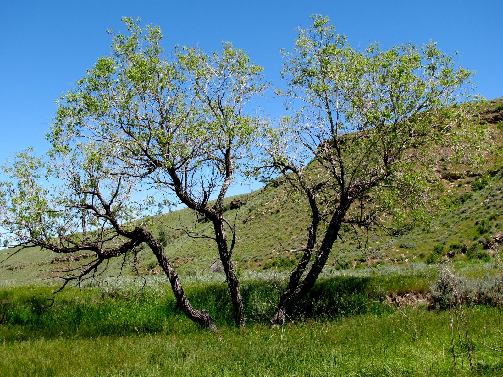
 After eating, we headed home. This is one of the views of the valley where we had been earlier in the day:
 With time to kill before our respite from Grandma was over, we stopped in Wind River Canyon and took these shots.


 There are two butterflies in this shot. The one on the left has its wings closed.