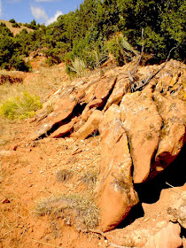
Instead of descending to Smoky Row Cemetery on your hike, I suggest walking across the ridge of hills, southeast, back toward your starting point.

 Just before you get back to Arapahoe Road, east of the service road mentioned in part 1 of this series is a small section of mining rails which was used at one time before this became a state park.
 Below are some of the views from the rail bed above. Arapahoe Road is within sight of this location.


No comments:
Post a Comment