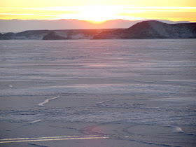
 Just past Birdseye Pass Road, which we explored yesterday, we arrived at Tough Creek Road.
  The sights aren't the same as Birdseye Pass Road, but it was worth the drive. Below is a shot looking toward Boysen Reservoir.
  The small hill above on the right is also seen below. Click here for a satellite image of this hill (note the small east-west road leading from the hill, across the dry creek bed, and to Tough Creek Road).
 To get to the above hill, we took a single track road which crossed the dry creek bed seen below. Maybe this is Tough Creek. This shot is looking south:


those last two shots are gorgeous! i love wind river canyon. it makes me sad thinking about not being able to pass through there on my way to visit you guys...
ReplyDelete